


According to the World Economic Forum’s Global Risk Landscape 2018, extreme weather events and natural disasters are ranked among the top three global risks. For many regions, hydro-meteorological risks constitute the biggest threat, which calls for a comprehensive scientific risk assessment, particularly focusing on the large associated uncertainties. The representation of these uncertainties is crucial since the consequences of hydro-meteorological hazards can have severe impacts on socioeconomic systems.
Global climate change could favor the occurrence of floods. An increase in extreme weather events, such as heavy precipitation, can be expected along with an increasingly warm climate (IPCC, 2018). In combination with uncontrolled socioeconomic development, these extreme weather events potentially trigger more intense hazardous flood events in the future. Hence, appropriate management of their consequences is required. Risk management policy and practice, in turn, need reliable estimates of direct and indirect economic impacts.
The reliability of currently existing estimates is usually quite low and, what is maybe even worse, not communicated properly. This may signal a false sense of certainty regarding the prediction of future climate-related risks.
In two recent studies, we developed and applied a novel method which particularly focuses on the communication of the reliability of its economic impact estimates and the associated uncertainties (Sieg et al, 2019a, b). The approach uses the OpenStreetMap dataset to identify affected buildings. This enables a consistent estimation of economic flood impacts from the individual building up to the national level. Assumptions made or uncertainties associated with e.g. the characteristics of the individual buildings are represented in a probabilistic way.
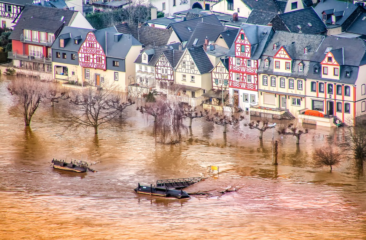
We applied and validated the method successfully to estimate the overall economic impacts of a major flood event in Germany in 2013. Being able to reproduce what has happened in the past is essential to make credible predictions about what could potentially happen in the future. A comparison of reported direct economic impacts and the model-based estimates reveals that the estimation technique works already quite reliably at any spatial level. In combination with the representation of uncertainties, this shows the suitability of the approach for future risk assessments.
The probabilistic manner and the consistent representation of uncertainties allow also for the application of the method in data scarce regions. For instance, the number of affected buildings in an area without extensive coverage of OpenStreetMap data could be guessed from satellite images or local authorities. The variations associated with these guesses can then be forwarded and represented within the method.
This way, the representation of uncertainties can help to get to a more credible and consistent risk assessment across all spatial scales. Thus, the method is able to potentially facilitate the fulfillment of some of the calls of the UN Sendai Framework for Disaster Risk Reduction. Detailed risk assessments considering uncertainties can substantially contribute to better risk management and consequently prevention of economic impacts – direct and indirect, now and in the future.
These findings are described in the article entitled Seamless Estimation of Hydro‐meteorological Risk Across Spatial Scales, recently published in the journal Earth’s Future. These findings are also described in the article entitled Integrated assessment of short-term direct and indirect economic flood impacts including uncertainty quantification, recently published in the journal PLOS One.
Related Posts
 Duck-Billed Dinosaurs Uncovered In Aniakchak, Alaska
 Cryptic Diversity In Vietnam’s Limestone Karst Habitats
 An Improved Method To Remove Debris From Cyst Nematode Egg Suspensions And Computer-Aided Technologies For Egg Counting
 The Footprints Of Urbanization, Industrialization, And Agriculture On River Beds: Heavy Metal Contamination Assessment And Source Identification In River Sediments In Eastern China
 Aging Dolphins Via Pectoral Flipper Radiography
 Glycoalkaloids In Potatoes: The Effect Of Biostimulants And Herbicides