


The safety of civilians is a fundamental responsibility of any government around the globe. Ever since terrorist attacks took thousands of innocent lives on September 11, 2001, infrastructure vulnerability has come under the spotlight. Under public pressure and heavy media coverage, the then president of the United States issued the Presidential Directives concerning the critical needs of homeland safety and ordered the responsible organizations to comply with and arrange necessary actions.
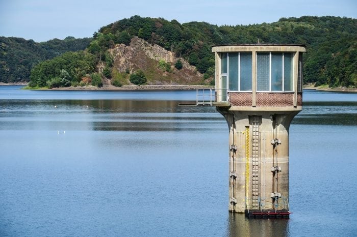
One critical infrastructure, and arguably the most vulnerable one, is Water Distribution System (WDS). WDSs are constructed to provide safe drinking water to consumers 24/7, access to which is considered a basic human right. WDS pipelines are expanded literally everywhere within and even outside city boundaries, rendering such infrastructure especially vulnerable to vandalism or even terrorism. The pipelines passing underneath the streets, alleys, and front doors, continuing in wall webs to the sink taps and bathrooms are only a tiny part of a WDS.
Furthermore, WDS is accessible from almost everywhere; from terminals, public bathrooms, hotels, schools, public taps in the streets, parks, and the list goes on. Even by digging into the ground, one can most likely find a pipeline passing underneath in the depth of just a few feet. Although the functionality of WDS to deliver water to customers might seem straightforward, the water entering the WDS via a reservoir, a tank, or other systems travel hundreds or even thousands of miles, passing through tens to hundreds of pipes and junctions before being delivered to consumers. It is not only astounding but also frightening, because if poisoned water enters the WDS by accident or sabotage, it would indeed contaminate almost the entire WDS.
Compromised water delivered through WDS may cause a national catastrophe, and history retains quite some of such incidents. For example, in May 2000, contaminated drinking water in Walkerton, Ontorio, Canada, severely affected 2,300 people and claimed 7 lives. But how much poison will do the damage? Some arsenic compounds can serve as good examples in this context. Arsenic is cheap, widely available, liquid, colorless, and without any specific smell when dissolved in water. This compound is so poisonous that a soda bottle filled with arsenic can critically affect up to 40 million people and kill 10 million of those just in a fraction of a day to a couple of days, depending on how fast it is consumed. This is more than twice the population of New York.
While preventive actions, due to the extent of WDSs, are not pragmatic, the only way to avoid a full-scale catastrophe due to water contamination is the real-time monitoring of water quality in the WDS by virtue of high-tech, very sensitive, and very expensive sensors. This network of sensors is usually referred to as Contamination Warning System (CWS). While ideal, it is not feasible to place sensors in every joint in the WDS, because the cost of installation and maintenance of such WDS will need an annual budget even more than the entire city’s. Also, such high-tech instruments require specific temperature, humidity, and even vibrational condition. As discussed before, contaminated water will travel through almost every pipeline and junction of a WDS. So, what would be the point in placing sensor everywhere, when a couple of sensors can do the job of thousands perfectly? The only question is how many sensors should be used and where they should be deployed?
Since the early 2000s, this question has gained the attention of researchers and hence, became the subject of many studies. Seemingly straightforward at first, it gradually became evident that it is a challenging task for the engineering community. Tens to thousands of methods have been proposed, many of them founded on different bases. Even the Battle of Water Network Sensors as a design challenge for engineers and algorithms was introduced in 2008 to find the best universal method.
Although the optimization-based methods have emerged as the best solution, the battle stopped short of declaring a winner. One reason is: there is simply not a unique best method. The uncertainties associated with when, where, and how a contamination could occur impedes one method to outperform the others. “How a proposed model handle uncertainties?” is the Achilles’ heel of any selected model. Because of the complexity of water flow in WDS and the mentioned uncertainties, simulation is an inevitable part of every optimization model. But how many simulations are needed? The answer is more simulations will indubitably result in a more robust, dependable and safe CWS design. One might say millions of contamination scenarios should be simulated. However, this will result in several Giga- to Tera-Bytes of data for a small WDS, let alone a large one, which should be analyzed for the design of CWS in an iterative manner. Even for WDS of a small city, designing a CWS would require a very expensive super computer, a significant level of expertise, and a long run time. Furthermore, when the data become extra-large, the likelihood of finding the global optimum CWS reduces and the execution time surges.
To deal with the computational burden, researchers traditionally have limited the number of simulations and restricted the number of locations that a sensor could be placed in. This could compromise the accuracy and objectivity of the derived solutions. A recent paper entitled Optimal and Objective Placement of Sensors in Water Distribution Networks Using Information Theory in the journal Water Research tackles the problem of CWS design being expensive and inaccurate. By using the concept of Value of Information (VOI) and Transinformation Entropy (TE), we have shown that restriction on the number of model simulations and pre-allocation of sensor locations are not needed, and indeed the number of scenario simulations could be increased to further the robustness of CWS design. More interestingly, all these can be executed using an ordinary personal computer. Both informatics methods (VOI and TE) translate the extra-large data obtained from simulations into a couple of bytes of data. The optimal points in VOI and TE values associate with the optimal CWS, and due to the small size of the data, finding its optimal point is rather fast and straightforward.
The proposed information theoretic approach allows for an expanded search region, i.e. more contamination scenarios, which translates into a higher accuracy of the proposed model compared to conventional models. In this paper, we have proved this claim by comparing our proposed model with TEVA-SPOT, the most proven, widely-accepted and highly regarded software for sensor placement problems developed by the US Environmental Protection Agency (EPA). The interesting finding of this comparison was that while the accuracy of the proposed model is marginally improved as compared to TEVA-SPOT, it is much faster and needs no specific instrument compared to TEVA-SPOT.
These findings are described in the article entitled Optimal and objective placement of sensors in water distribution systems using information theory, recently published in the journal Water Research. This work was conducted by Mohammad S. Khorshidi and Mohammad Reza Nikoo from Shiraz University and Mojtaba Sadegh from Boise State University.
Related Posts
 Duck-Billed Dinosaurs Uncovered In Aniakchak, Alaska
 Cryptic Diversity In Vietnam’s Limestone Karst Habitats
 An Improved Method To Remove Debris From Cyst Nematode Egg Suspensions And Computer-Aided Technologies For Egg Counting
 The Footprints Of Urbanization, Industrialization, And Agriculture On River Beds: Heavy Metal Contamination Assessment And Source Identification In River Sediments In Eastern China
 Aging Dolphins Via Pectoral Flipper Radiography
 Glycoalkaloids In Potatoes: The Effect Of Biostimulants And Herbicides