Many types of research indicate that exposure to noise pollution can induce negative effects on human health: cardiovascular diseases, sleep disturbances, psychological disorders, negative effects on the auditory system, etc. For these reasons, environmental noise has come to be considered by the World Health Organization as one of the principal environmental issues in cities.
In this regard, strategic noise maps were proposed in European Directive 2002/49/EC as a useful instrument to evaluate the exposure of the population to environmental noise. The results of these are taken into account for the subsequent development of action plans in order to reduce noise pollution.
A noise map is a graphic representation of a certain area where a series of receiver points are defined with the purpose of obtaining noise exposure levels for a population. Different strategies as “in situ” measurements or computerized methods can be considered for noise mapping. Computation methods for noise mapping are widely used, mainly due to the cost of maps development through “in situ” measurements. In this case, software packages that model the propagation of the sound field outdoors are frequently employed, using international standards (ISO 9613, NF S 31-133) or standardized models (CNOSSOS-EU) for that purpose.
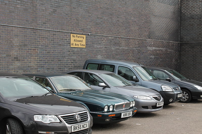
Regarding traffic noise, when noise maps are developed through computational methods, input data such as flow and type of vehicles that pass through the streets, the reflection coefficient of surfaces, etc. are needed to obtain accurate results. But the lines of parked vehicles on the sides of urban streets are not usually taken into account. However, recent research indicates that its impact on exposure to environmental noise on dwellings could be significant.
In this work, the repercussions of parked vehicles in urban street design on sound level distribution are investigated using the Boundary Element Method (BEM). BEM is due to the fact that it allows researchers to study the wave interference phenomena that take place in urban environments due to the presence of obstacles. However, software packages usually employed in noise mapping are commonly based on a ray-tracing method due to the standard or model used as a reference to model the behavior of the sound field.
First, a validation of BEM model was carried out. To this end, results of “in situ” measurements in an urban environment were compared with that calculated by simulation. In general terms, the correspondence between both values was satisfactory. Afterward, a research process using the BEM method was carried out considering a general configuration for an urban street with a line of parked vehicles. To perform this process, a vertical array of receivers was set on the reflective façade of a building. They were placed at heights between 1.5 and 8 m. Different parameters related to the urban configuration, as the distance between the parked vehicle and the sound source and the distance between the reflective façade and the parked vehicle, were modified.
The research shows a noise-shielding effect related to parking lines in urban environments that depend on the height of microphones and the distances between the sound source, parked vehicles, and facade of the dwellings. The obtained values indicate that this screening can be of great importance in different urban street shapes if an assessment of the exposure to traffic noise of buildings is desired. Therefore, the accuracy in noise mapping according to the European Directive could be affected if this shielding effect is not considered, which is essential for proper planning of control actions.
These findings are described in the article entitled Acoustic screening effect on building façades due to parking lines in urban environments. Effects in noise mapping, recently published in the journal Applied Acoustics. This work was conducted by D. Montes Gonzalez and J. M. Barrigón Morillas from the University of Extremadura, and L. Godinho and P. Amado-Mendes from the University of Coimbra.


