


Vegetation phenology describes the plant seasonal cycle of green leaf-on during spring and brown leaf-off during autumn because of changes in weather and climate. With the seasonal increase and decrease of vegetation green leaves, vegetation phenology controls a variety of land surface characteristics including albedo, surface roughness length, canopy conductance, water and energy fluxes, photosynthesis, and CO2 fluxes. Vegetation phenological events (such as the appearance of first bloom, first leaf unfolding, and first leaf coloration) have been traditionally observed from fields for particular plant species.
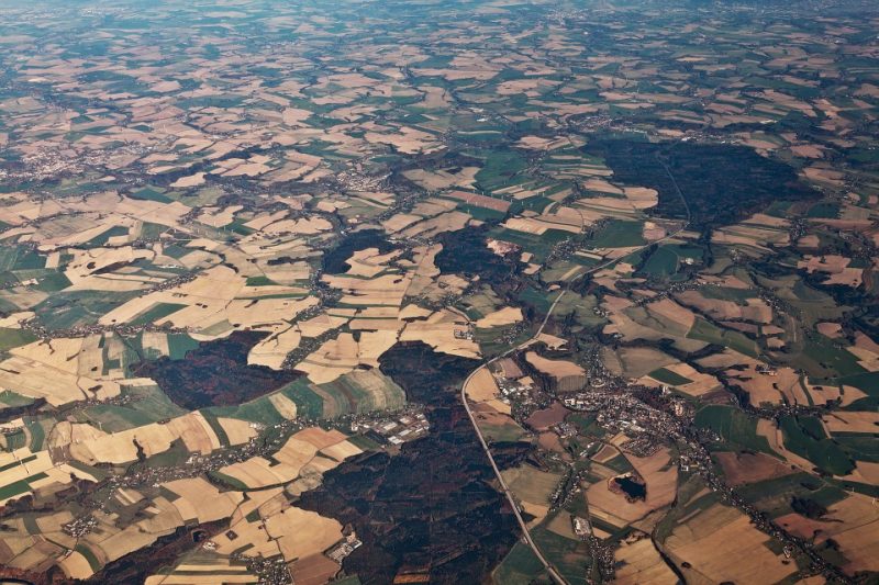
These field observations can only provide a limited number of individual plants that are rarely representative of the landscape over geographical sites globally. On the other hand, satellites provide continuous, wall-to-wall observations of the Earth’s land surface every day. They normally characterize greenness dynamics of the vegetated land surface with a pixel footprint larger than 500m that often contains multiple types of vegetation mixed with other scene objects, such as soil, water, and human structures. Thus, land surface phenology (LSP) is the term used to distinguish the object of satellite remote sensing from traditional notions of species-specific organismal phenology observed at ground levels.
In order to monitor global climate change, carbon budgets, and ecosystem dynamics, a well-quantified long-term LSP product with a global coverage has being developed in the National Aeronautics and Space Administration (NASA) at a spatial resolution of 500m from the MODerate resolution Imaging Spectroradiometer (MODIS) and Visible Infrared Imaging Radiometer Suite (VIIRS) sensors. MODIS LSP product has been operationally produced from time series of vegetation indices (or greenness) calculated from red and near-infrared reflectances since 2000.
Because the MODIS sensor is aging and nearing the end of its duty cycles, VIIRS onboard the Suomi National Polar-orbiting Partnership (NPP) satellite (launched October 2011) is intended to provide continuity with the MODIS LSP data record. During the next few decades, VIIRS on the Joint Polar Satellite System (JPSS) series will continue to provide the capability to monitor LSP for the extension of phenology data record. The long-term LSP product quantifies six key phenological transition dates: greenup onset (start-of-spring), mid-greenup phase (middle-of-spring), maturity onset (end-of-spring), senescence onset (start-of-fall), mid-senescence phase (middle-of-fall), and dormancy onset (end-of-fall) during a vegetation growing cycle.
Because of vast differences in spatial coverage and the different kinds of phenomena being observed from field and satellites, the quality of satellite-derived LSP products and their relation to biological events in plants are critical to being characterized. For this purpose, VIIRS LSP product is evaluated using the vegetation index of “canopy greenness” calculated from color images (red, green, and blue bands) that are collected through the PhenoCam network. This network captures digital images from tower-mounted web cameras, thus providing consistent and continuous monitoring of vegetation canopy conditions at locations throughout the United States. These images allow for the characterization of seasonal dynamics via image processing approaches similar to those applied to satellite imagery.
Our understanding of the biophysical characteristics of satellite LSP product has been significantly improved by comparing the phenological transition dates retrieved from VIIRS vegetation indices with those from MODIS LSP products and observations from the PhenoCam network in 164 site-years across the United States during 2013 and 2014. The results demonstrate tight linkages between VIIRS and MODIS phenology detections [the coefficient of determination (R2) larger than 0.9 and average absolute difference less than 7 days for five out of the six phenological transition dates] indicating that both the VIIRS phenological retrievals and the ability of VIIRS provide continuity with the MODIS record, which ensures the long-term seamless phenology data record.
The results further indicate that the overall average absolute difference between the VIIRS and PhenoCam phenological dates was 7-11 days in the greenup phase (greenup onset, mid-greenup phase, maturity onset) and 10-13 days in the senescence phase (senescence onset, mid-senescence phase, and dormancy onset). This means the time series from PhenoCam and VIIRS data are quite similar in detecting spring phenological transition dates, while they differ substantially in retrieving senescence phenology. This difference is likely attributed to the time series of vegetation indices from PhenoCam and VIIRS that characterize different aspects of the biophysical properties of vegetation. In particular, all of the vegetation indices are constructed to be more sensitive to spring green leaves rather than to autumn color (red, yellow, or brown) leaves, and autumn foliage senescence experiences more gentle transition than the rapid spring flush of new foliage, particularly in forested cover types. Thus, the onset of spring is more readily detected than the onset of autumn.
Moreover, the difference between the VIIRS and PhenoCam phenological dates also varies with land cover types. The difference was smaller with an average absolute difference of 6 days for greenup onset in forests, followed by grasslands and croplands, and then savannas. This finding indicates that VIIRS phenology detection should be expected to be more comparable to PhenoCam estimation in homogenous sites (such as forests) than in heterogeneous sites (such as savannas). Phenology detection in arid and semiarid savannas is complicated, where the spatial pattern of vegetation types is highly heterogeneous. Because of the difference between PhenoCam coverage and VIIRS footprint, their dissimilarity of phenology detection will increase with the level of surface heterogeneity or mismatch in the scene. Therefore, the results likely provide the upper boundary of uncertainty in VIIRS phenology detection.
To conclude, the results of this study demonstrate that VIIRS LSP dates are consistent with MODIS LSP and are well characterized and validated using the near-surface remote sensing observations available from the PhenoCam network. The disagreement between VIIRS and PhenoCam retrievals is less in spring than autumn, less in forests than in croplands or grassland than in savannas, and less in homogenous than in heterogeneous land covers.
These findings are described in the article entitled Evaluation of land surface phenology from VIIRS data using time series of PhenoCam imagery, recently published in the journal Agricultural and Forest Meteorology. This work was conducted by Xiaoyang Zhang, Senthilnath Jayavelu, Lingling Liu, and Geoffrey M. Henebry from South Dakota State University, Mark A. Friedl from Boston University, Yan Liu and Crystal B. Schaaf from the University of Massachusetts Boston, Andrew D. Richardson from Harvard University and Northern Arizona University, and Joshua Gray from North Carolina State University.
Related Posts
 Duck-Billed Dinosaurs Uncovered In Aniakchak, Alaska
 Cryptic Diversity In Vietnam’s Limestone Karst Habitats
 An Improved Method To Remove Debris From Cyst Nematode Egg Suspensions And Computer-Aided Technologies For Egg Counting
 The Footprints Of Urbanization, Industrialization, And Agriculture On River Beds: Heavy Metal Contamination Assessment And Source Identification In River Sediments In Eastern China
 Aging Dolphins Via Pectoral Flipper Radiography
 Glycoalkaloids In Potatoes: The Effect Of Biostimulants And Herbicides