


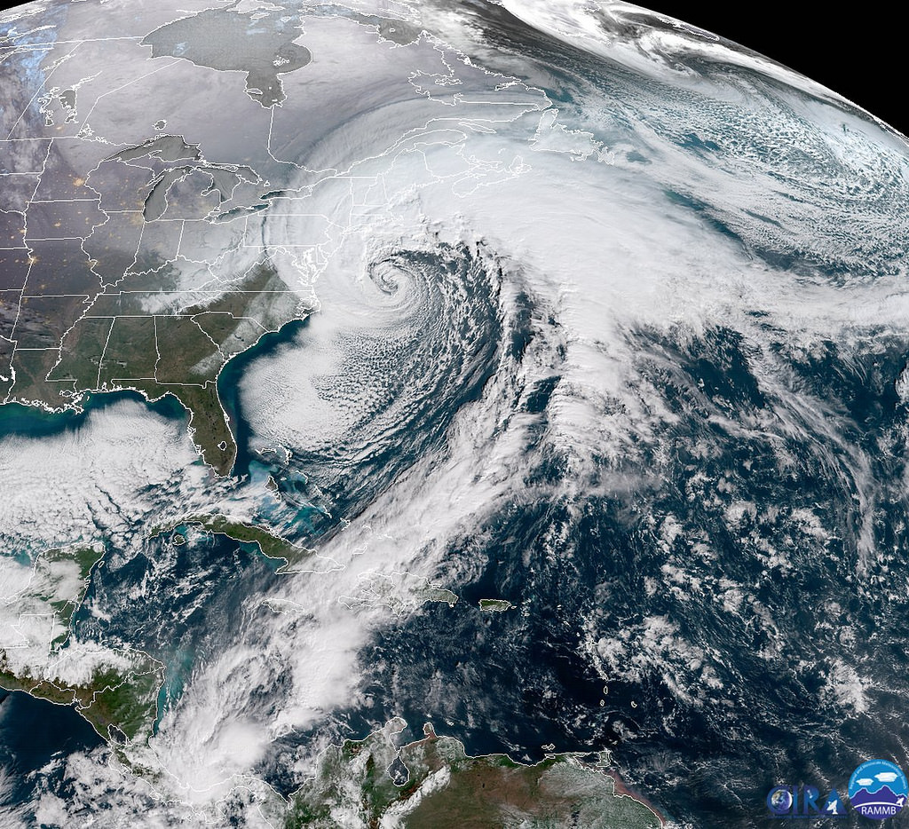
Predicting severe weather (defined by the National Weather Service as wind gusts above 58 MPH, hail greater than 1″, or a tornado) in the Northeast U.S. presents many unique challenges to forecasters. The varied landscape of mountains, river valleys, lakes, and oceans within the Northeast complicates the forecasting process by modulating the atmosphere over small, localized areas in contrast to the relatively homogenous terrain of the Great Plains.
Additionally, typical severe weather parameters such as CAPE, a measure of potential energy in the atmosphere available to storm updrafts, are less intense on average over the Northeast than over the Great Plains and Midwest, suggesting a more benign, subtle, and difficult-to-recognize severe weather environment relative to areas further south and west.
Analyzing Low Probability of Detection Weather Events
This study used Day 1 early-morning (0600 UTC) severe weather forecasts from the National Weather Service’s Storm Prediction Center to identify Northeast severe weather events that were particularly difficult to predict (Low Probability of Detection [POD] events) and analyzed what makes them unique from events that were well-predicted. Using data from 1980 to 2013, we found 1000–500-hPa vertical wind shear strength, or the magnitude of the difference in winds from the surface to about 18,000 feet, discriminates well between poorly forecasted severe weather events and well-forecasted events with higher wind shear strength leading to higher predictive skill.
Typically, high vertical wind shear allows a storm to tilt with height and promotes storm organization and growth, leading to higher chances of severe weather. In addition, higher winds aloft, which are usually found in high wind shear environments, can be mixed down to the surface by storm downdrafts, leading to severe wind gusts at the surface. However, it is much tougher for a storm to produce severe wind gusts in a low-shear environment.
Severe wind gusts were found to be the most frequent severe weather report type in the Northeast during low-POD events, so we set out to find what mechanism was producing severe wind gusts under low-shear conditions. We binned Northeast severe events under low vertical wind shear conditions into two groups: large-scale severe events spanning an unusually large amount of area and small-scale, localized severe events that impacted a much smaller area.
We found the large-scale severe events under low shear tend to have drier air in the lowest ~5000 feet of the atmosphere, contributing to lower relative humidity values there, and higher DCAPE values, which is equivalent to CAPE but for storm downdrafts and is based on the low-level vertical temperature and moisture profile below ~15,000 feet. This suggests that, along with higher downdraft potential energy available, an enhanced evaporative cooling mechanism may contribute to a heightened severe wind threat during severe events under low vertical wind shear conditions. The hypothesis is that as a rain-filled parcel of air descends out of the storm cloud, it encounters unusually dry air, which acts to enhance evaporation of the rainwater within the parcel, cooling the parcel dramatically. The now-colder parcel of air accelerates rapidly to the surface, leading to strong and severe wind gusts near the point of impact.
Low POD Weather Event Case Study
Lastly, a case study of the 18 August 2009 severe weather event was conducted on a low-POD event occurring in a low shear environment. Despite weak winds aloft on the order of 25–35 mph, an 89-mph wind gust was recorded in Glen Cove, NY along with several damaging wind gusts across PA, MD, DE, NJ, and southern NY. Anomalously dry air just above the surface and high DCAPE values were observed ahead of the developing storms and likely contributed to the production of exceptionally high wind gusts within the passing storms.
The study is intended to give additional guidance to forecasters when evaluating severe weather risks, particularly under low vertical wind shear conditions when predictive skill scores were shown to be lowest. It is hoped that when forecasters are faced with a possible severe weather event under such conditions, they can make use of parameters such as DCAPE and low-level humidity values to better predict the intensity and coverage of severe weather.
This study, Climatology and Analysis of High-Impact, Low-Predictive Skill Severe Weather Events in the Northeast U.S., was recently published in Weather & Forecasting.
Related Posts
 Duck-Billed Dinosaurs Uncovered In Aniakchak, Alaska
 Cryptic Diversity In Vietnam’s Limestone Karst Habitats
 An Improved Method To Remove Debris From Cyst Nematode Egg Suspensions And Computer-Aided Technologies For Egg Counting
 The Footprints Of Urbanization, Industrialization, And Agriculture On River Beds: Heavy Metal Contamination Assessment And Source Identification In River Sediments In Eastern China
 Aging Dolphins Via Pectoral Flipper Radiography
 Glycoalkaloids In Potatoes: The Effect Of Biostimulants And Herbicides