


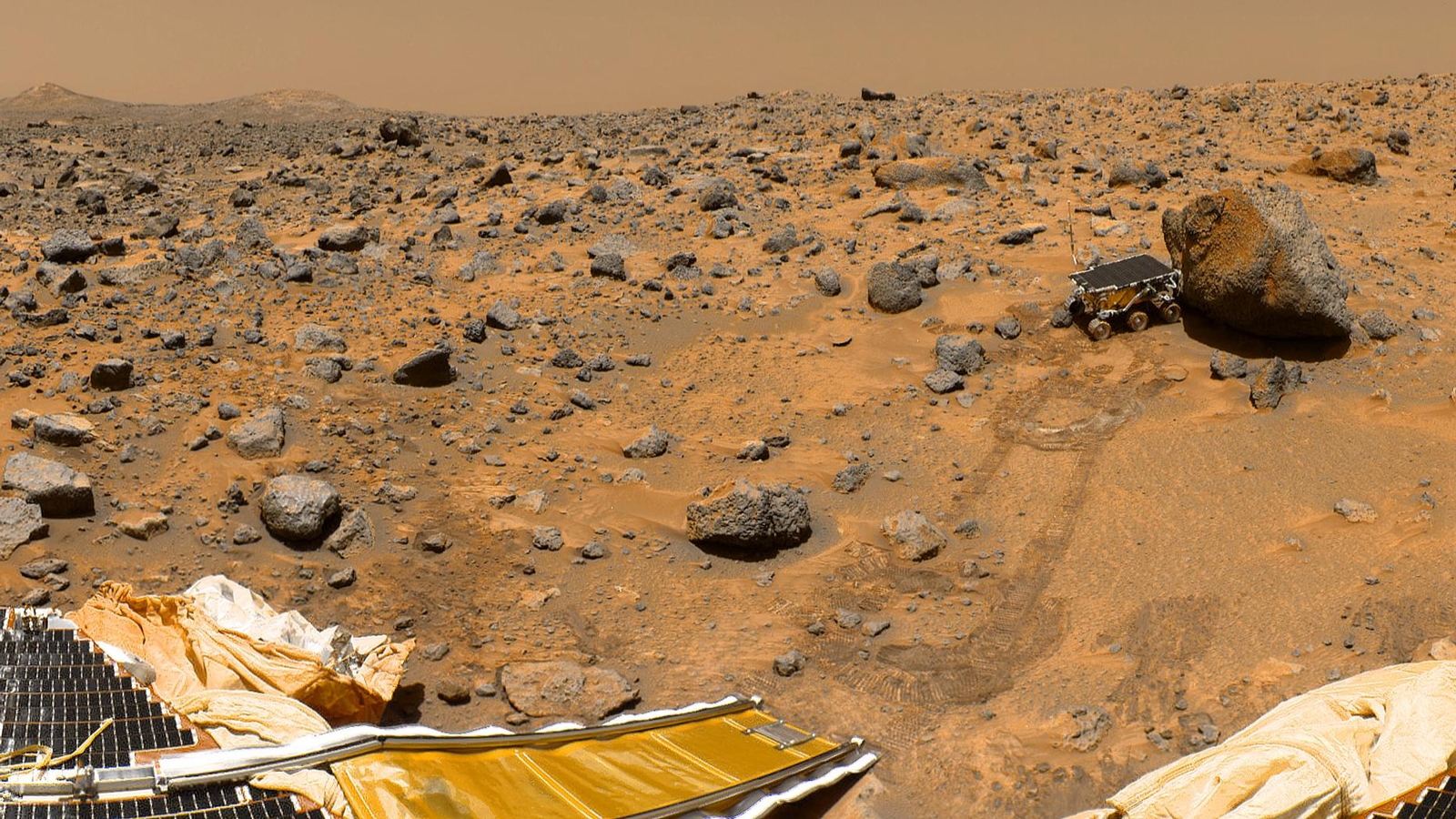
Imagine that you have been successfully recruited as a Mars immigrator. After celebrating being a pioneer and approaching closer to this red planet, you find out with horror that there is no Hazard Detection and Avoidance (HDA) system onboard! That is, you have to go through a free landing, just like what previous warriors have experienced, MER-A, MER-B, and Phoenix. May God bless you.
An onboard HDA system is important for planet landing. However, due to some technical limitations, all landing missions to date except Chinese Chang’e-3[1] are essentially landed “blind.” Several attempts using different techniques have been made thus far. Conventional efforts mainly concentrated on visual feature extraction from images, including local intensity[2], textures[3], shape[4], or a combination of these factors[5]. But such approaches are unfit for rock detection due to their diverse morphologies. Another hurdle of image-based methods is the failure of slope estimation using the image itself. Another line of recent studies suggested using lidar to detect hazards[6]. Flash lidar is one such sensor that can generate 3-D terrain maps.
In previous work studying onboard HDA, some early schemes triggered at 100 to 300 m above ground level (AGL) using vision-based methods to detect hazards. For future complex terrain landing, however, the lander is possibly confronted with a serious plight of “hazard saturation,” i.e., the visible area does not contain any safe landing sites, leading to an insufficient time margin or remaining fuel to hunt for a safe site. An intuitive approach is to increase the altitude of HDA triggering. As the altitude of HDA rises, the lander can achieve earlier maneuver. This is essential for future manned landing since identify all the hazards is not the key concern at high altitude, but to identify larger rocks and steep slopes, so as to determine a roughly safe site. Afterward, a more precise HDA can be carried out at the terminal descent phase. The success of Chang’e-3 mission demonstrates the efficiency of high altitude HDA.
Inspired by Chang’e-3, we designed a two-phase online hazard detection strategy. At the initial phase, flash lidar is used to generate a hazard map to roughly select a safe region by assessing the lander’s geometry and mechanical tolerance, etc. Based on an overall consideration of the above factors, the best targeting region is selected as a safe area. The execution of the first HDA should start as soon as power descending begins, so as to provide sufficient time for any trajectory adjustments needed. The final HDA is triggered at the terminal phase. Based on the landing regions selected by the first HDA, this process aims to find a more accurate and suitable vehicle-scaled landing site.
Our work mainly concentrates on the first HDA. Traditional lidar-based hazard detection methods fitted a datum plane to estimate the height of objects. However, due to the topographic relief, fitting a large plane at high altitude will dramatically smooth out roughness features and underestimate the slope. Instead, we propose a robust datum surface modeling algorithm based on Thin Plate Spline (TPS) interpolation and lidar filter techniques. The continuous TPS surface is formulated as the combination of plane term and a kernel-based regularization term. Parameters of the surface are optimized by minimizing bending energy. Before modeling the datum surface, multi-scale morphological filters are used to eliminate lidar noise. Hazards are assessed by the distance residues of laser points to the TPS surface. Slopes are directly estimated by the TPS surface itself.
We further designed a novel hazard assessment function. The landing candidate is safe if and only if both the residues and slope are satisfied landing requirements. The final selected safe site will be the minimum of roughness and incidence angle simultaneously.
Our results on real lidar data and simulated platform demonstrate the efficiency of proposed methods. We built a lidar platform and carried experiments both on this platform and real Mars data.
Compared with state-of-art plane-based detection methods, our methods could identify most of the hazards, indicating the superiority of the proposed methods. One of the drawbacks is that for large flat objects, like the top surface of a cliff, TPS surface would highly fit them, leading to a missing detection. But this can be settled by enlarging the slide window of TPS pyramid at the cost of terrain blurring. There should be a trade-off balancing the window size and terrain resolution. Nevertheless, it is much better than the current plane fitting detection strategy.
These findings are described in the article entitled Safe Mars landing strategy: Towards lidar-based high altitude hazard detection, recently published in the journal Advances in Space Research.
References:
- Zhang, H., Liang, J., Huang, X., Zhao, Y., Wang, L., Guan, Y., Cheng, M., Li, J., Wang, P., Yu, J., 2014. Autonomous hazard avoidance control for change-3 soft landing. Science China Technological Sciences 44, 559.
- Bajracharya, M., 2002. Single image based hazard detection for a planetary lander, in: Automation Congress, 2002 Proceedings of the 5th Biannual World, IEEE. pp. 585–590.
- Cohen, J.P., Ding, W., 2014. Crater detection via genetic search methods to reduce image features. Advances in Space Research 53, 1768–1782.
- Troglio, G., Moigne, J.L., Benediktsson, J.A., Moser, G., Serpico, S.B., 2012. Automatic extraction of ellipsoidal features for planetary image registration. Geoscience and Remote Sensing Letters, IEEE 9, 95–99.
- Xiao, X., Cui, H., Yao, M., Tian, Y., 2017. Autonomous rock detection on Mars through region contrast. Advances in Space research 60, 626 – 635.
- Johnson, A.E., Klumpp, A.R., Collier, J.B., Wolf, A.A., 2002. Lidar-based hazard avoidance for safe landing on Mars. Journal of guidance, control, and dynamics 25, 1091–1099.
Related Posts
 Search For Life: How Organisms On Earth Help Us Understand Space Environments
 The Existence of Complex Life In The Universe May Be Rarer Than Previously Thought
 From Laboratories To Space: Experimental Organisms Contribute To Space Research
 Early Human Settlement On Mars By Sheltering Them In Excavated Underground Structures Due To Harsh Climate And Hazardous Solar And Galactic Cosmic Rays
 Circuit QED Controlled To Implement Quantum Computers
 Dark Matter Meets Einstein’s Equivalence Principle: A Tale Of Two Particles